Sanctuary Designation
The designation of Papahānaumokuākea National Marine Sanctuary became effective on March 3, 2025. NOAA announced the effective date in this Federal Register notice on March 24, 2025.
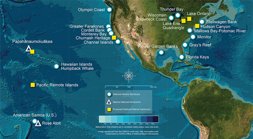
Designated in 2025, Papahānaumokuākea National Marine Sanctuary is America's 18th national marine sanctuary, and is the largest in the National Marine Sanctuary System. The sanctuary encompasses 582,570 square miles of Pacific Ocean waters in Hawaiʻi, providing protection to nationally significant natural, cultural, and historical resources while bringing opportunities for research, community engagement, and education and outreach activities. The sanctuary is coextensive with the marine portions of Papahānaumokuākea Marine National Monument, and is managed in partnership with the monument co-trustees.

Map of Papahānaumokuākea National Marine Sanctuary showing sanctuary boundaries, which encompasses 582,570 square miles of Pacific Ocean waters in Hawai’i. Image: NOAA


